Drone 3D orthomosaics
Hundreds of overlapping aerial photographs, stitched into a single measurable 3D map of the entire roof system — not the three slopes a field adjuster photographed from a ladder.
- Survey-grade measurements for the estimate
- Complete coverage — nothing left to “we didn’t inspect that”
- Time-stamped record of condition on the inspection date
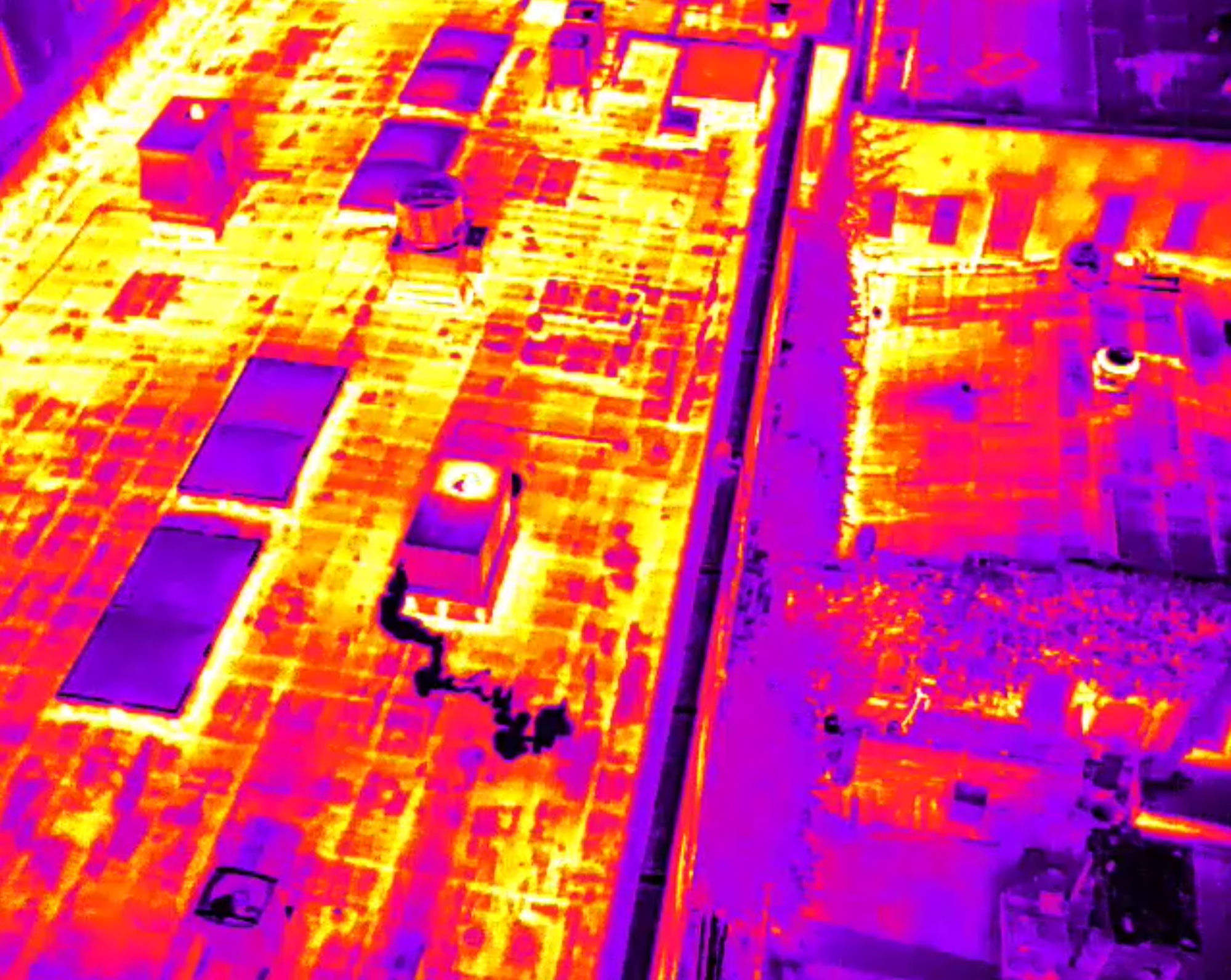
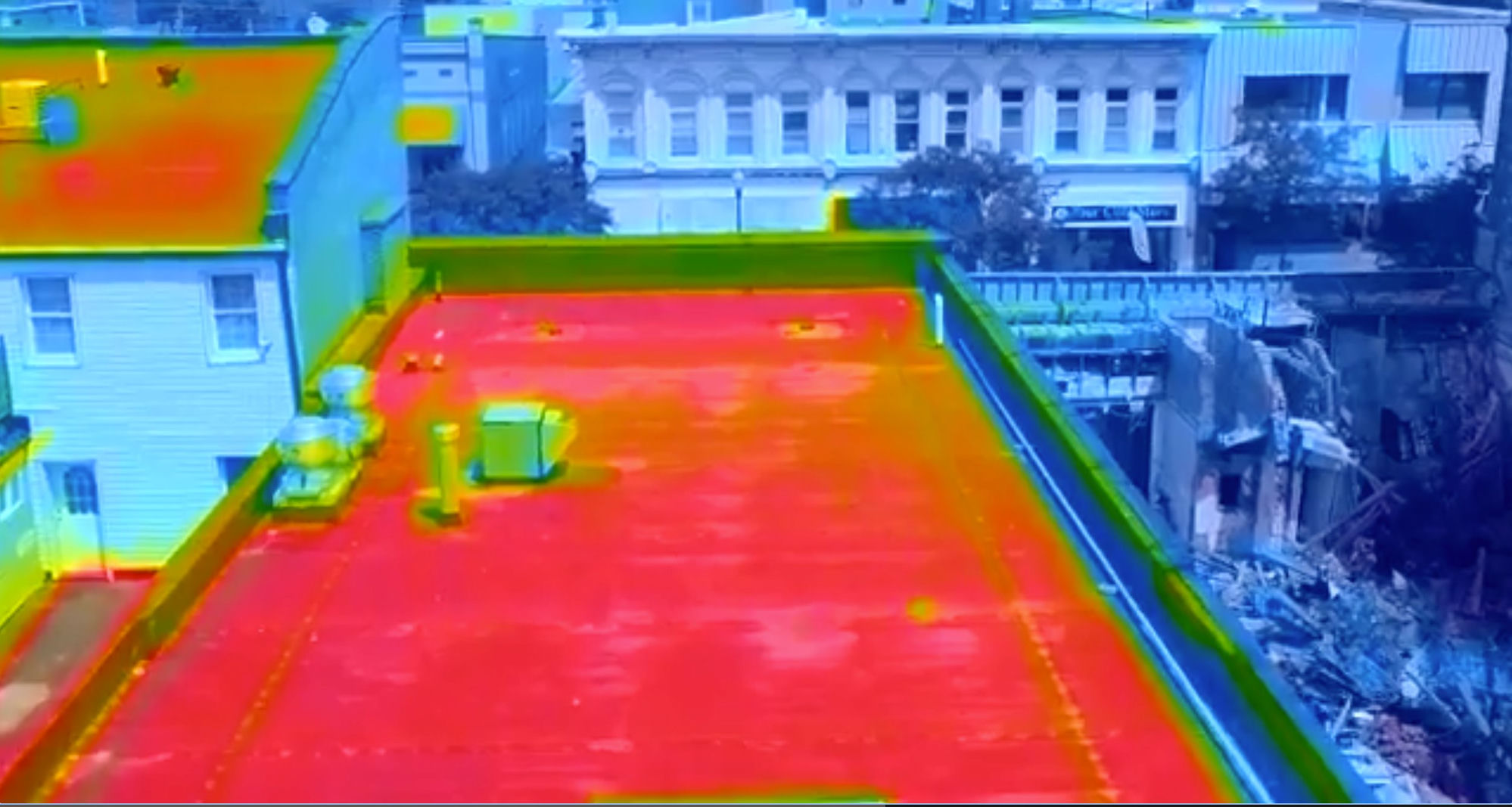
3D thermal orthomosaics
The same aerial geometry, captured with a radiometric thermal sensor. Trapped moisture holds heat differently than dry assembly — so saturation glows on the map, across the entire roof at once.
- Roof-scale moisture intrusion mapping
- Radiometric data — temperatures, not just colors
- Pairs with core samples and moisture readings for proof
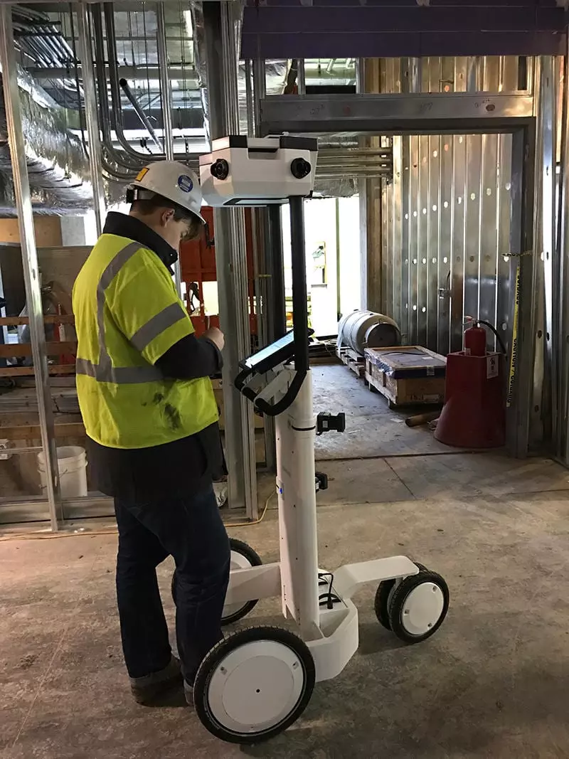
Interior 3D modeling
A NavVis-captured walk-through of every affected space — a digital twin with survey-grade measurements and conditions locked to the capture date. Months later, the room still exists exactly as it was.
- Walk-through digital twin shared by link
- Measurements for the estimate without re-visits
- Pre-rebuild record that ends “that was already like that”
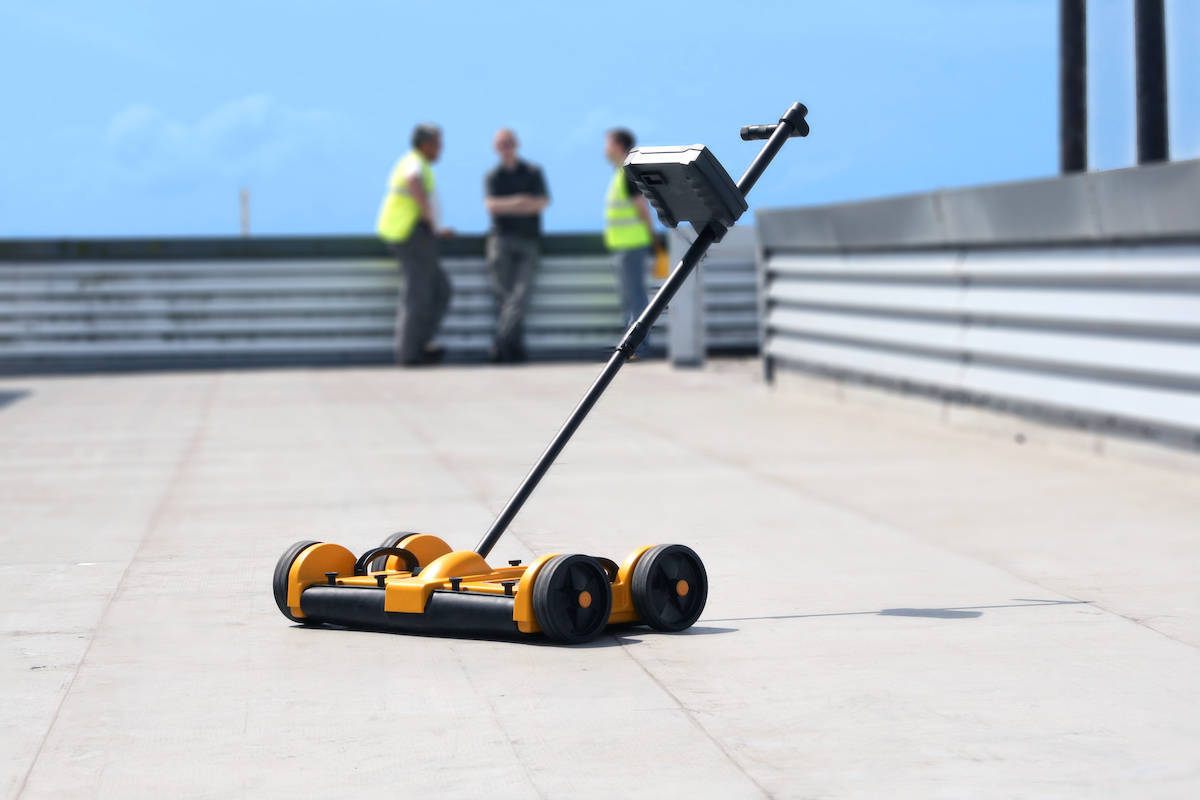
Deck moisture mapping
A non-destructive rolling survey of the roof deck, producing a quantified moisture map of the substrate. It turns the most common carrier argument — “the deck is fine, just patch the membrane” — into a numbers conversation we win.
- Quantified readings across the full deck, not spot checks
- Non-destructive — no test cuts needed to find wet areas
- Proves replacement scope where saturation exists